
Project Showcase
Work that shapes communities
Project showcases that demonstrate how MNG turns planning complexity into clear, actionable outcomes.
Explore projectsProject Showcase
Cairns City Precincts Urban Regeneration Project
Recognition – Planning Institute of Australia, Queensland Awards – Commendation 2025; Ministers Awards for Urban Design – Commendation 2026
Project Overview
Our experienced team led this project with design lead Pilot Places, delivering an integrated planning, design and policy response for climate-resilient housing in central Cairns.
The outcome gives Cairns Regional Council a clear plan and staged steps to regenerate the city centre, attract investment and target funding, and deliver more and diverse housing.
The Project Team's role included
- Developing the Precinct Plan with design lead Pilot Places
- Understanding market and feasibility drivers with Bull and Bear Economics
- Planning and policy strategy and advice
- Preparing the Implementation Road Map
- Delivering stakeholder engagement, including Design Hubs, workshops and online materials, with Civic Shifts
- Preparing landscape design and concept plans with People Oriented Design
A Design-led Framework
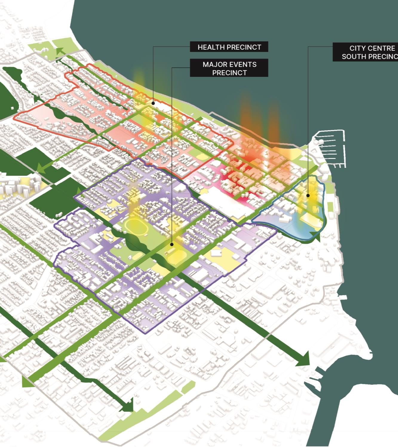
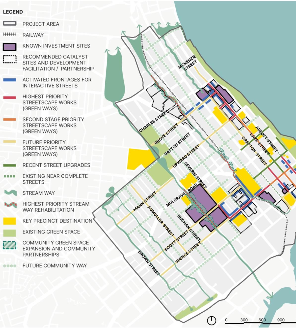
A design-led framework sets out how precincts around the CBD grow, connect and support more diverse housing, while amplifying the tropical character locals value.
The framework spans the Health Precinct, the Major Events Precinct and the City Centre South Precinct.
Three key themes
- Precincts: vibrant tropical hubs and neighbourhoods
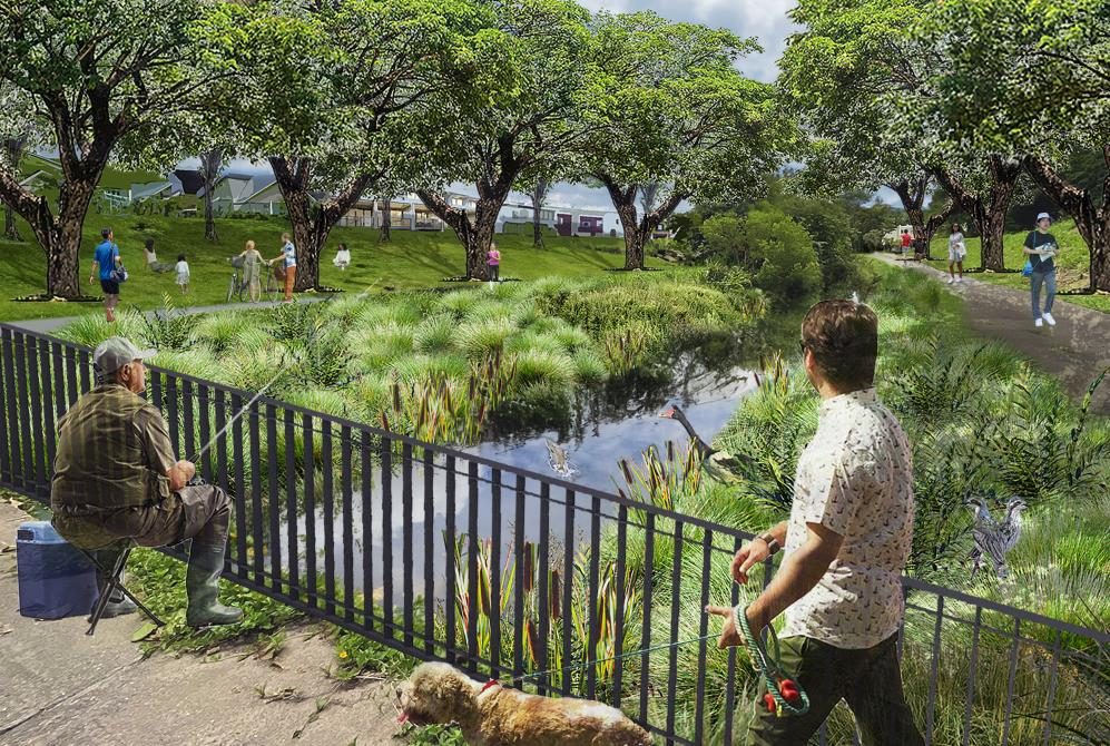
- Connectors: a network of cool green streets and public spaces
- Housing: a thriving, diverse housing mix
Planning for Housing
A key focus was climate-responsive housing supply and diversity, supporting regional growth without losing Cairns' unique character.
Housing strategies included
- Planning scheme amendments: guided by the Bull + Bear Economics feasibility study, changes were developed to encourage infill housing such as dual occupancies, triplexes and quadplexes.
- Faster approvals: recommendations and a strategy to simplify the assessment process for key housing types.
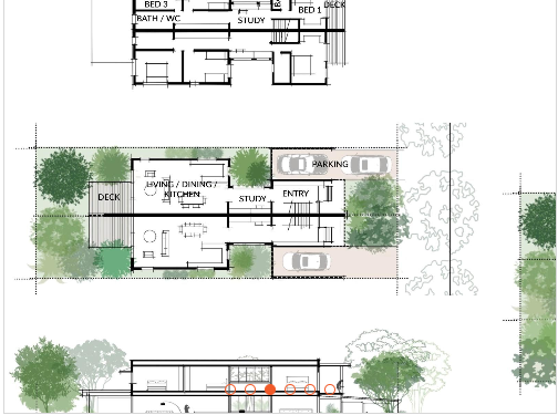
- “Test fits”: concept designs based on typical local lots, ensuring the recommendations work in practice.
A Road Map for Implementation
An implementation Road Map sequences policy, advocacy and capital initiatives so effort and funding are prioritised logically & integrated towards a holistic outcome.
It ranks initiatives by community, environmental and economic benefit, with delivery timelines and clear roles for Council and stakeholders.
Stakeholder Engagement
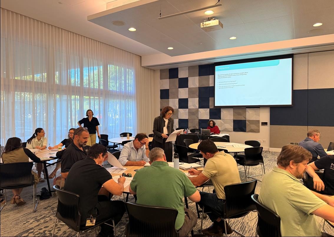
The plan was shaped with Council, industry and community through a series of Project Design Hubs.
- Design Hub 1 – identified key issues and challenges with Cairns Regional Council
- Design Hub 2 – focused on early proposals
- Design Hub 3 – presented more developed project proposals
Streetscape and Landscape Design
With Pilot Places and People Oriented Design, the team prepared planting concepts and streetscape plans to green, cool and better connect central Cairns.
Project Showcase
Industrial Land Reviews and Investigations
Industrial Land Review: Victory Heights Local Development Area
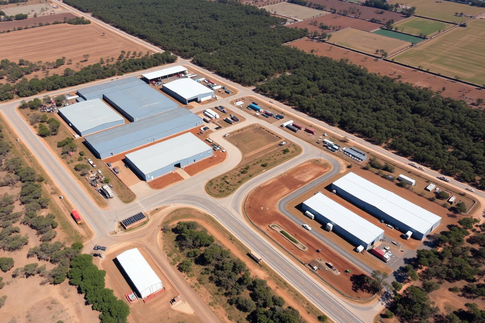
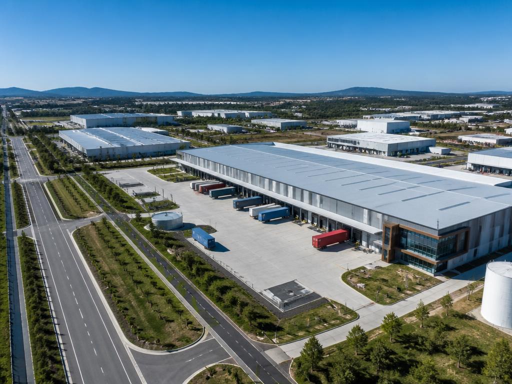
Our experienced team led a detailed industrial land review for the Victory Heights Local Development Area, assessing supply, development status, servicing and accessibility to guide zoning decisions.
Key tasks included
- Review of planning controls, zoning and overlays
- Assessment of land availability and ownership
- Identifying infrastructure requirements and constraints
- Mapping to highlight opportunities and limitations
- Engagement with industry and landowners
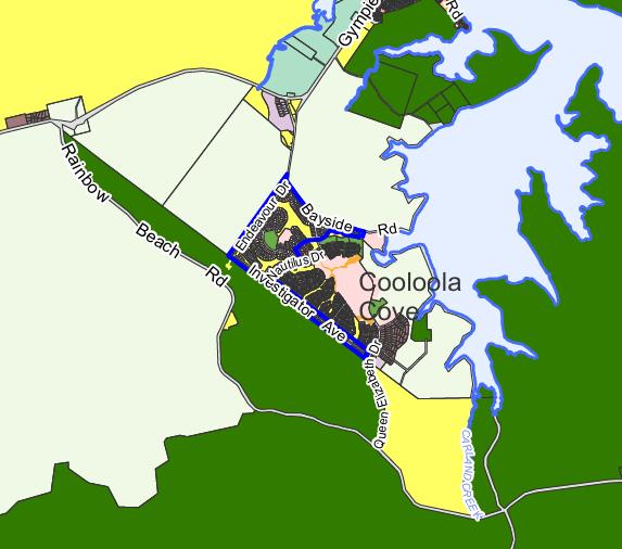
Industrial Land Review: Cooloola Cove
A strategic industrial land assessment for Cooloola Cove, informing long-term land use planning and employment-generating opportunities.
Key tasks included
- Analysis of existing zoning and land use
- Identifying environmental and infrastructure constraints
- Assessing demand and alignment with local economic needs
- Engagement with industry and landowners
- Recommendations for future industrial land use and planning
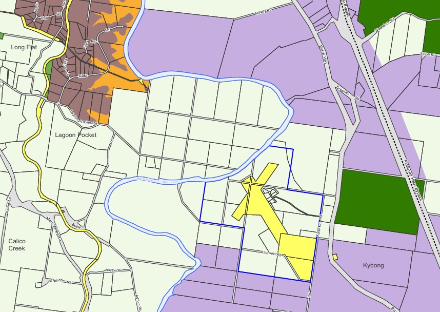
Industrial Investigation Area: Kybong
Managing the strategic investigation into the Kybong Industry Investigation Area, confirming suitable land for long-term industrial development and infrastructure planning.
Key components overseen
- Sieve analysis to refine suitable industrial land against environmental, planning and infrastructure constraints
- Infrastructure investigations, including water, sewer, power and access
- Review of land ownership and development feasibility
- Bringing technical studies together into a single strategic framework
- Coordination across Council teams and external consultants

Project Showcase
Alternative Planning Pathway
Temporary Local Planning Instruments
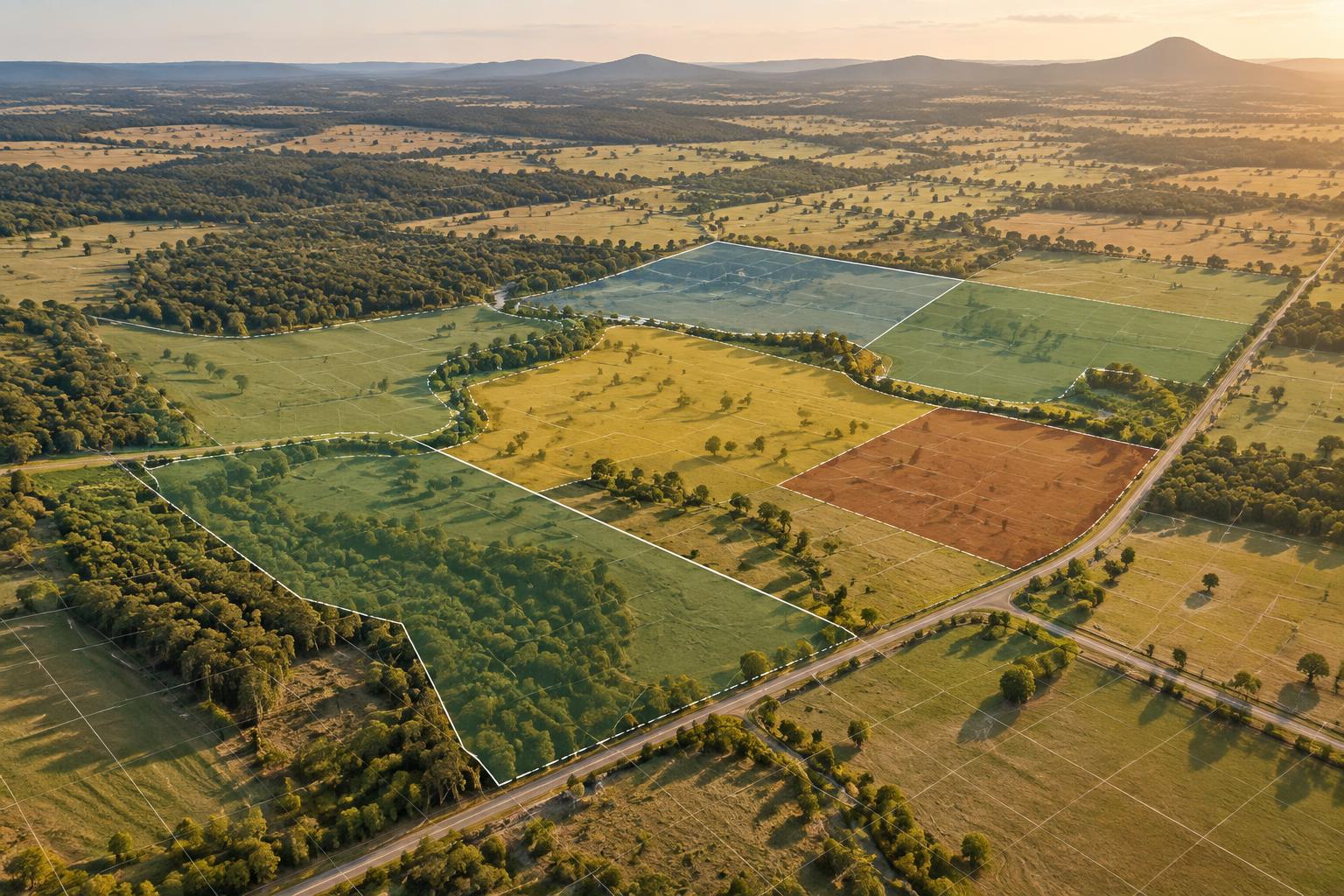
Our experienced team has led three Temporary Local Planning Instruments addressing biodiversity and vegetation clearing at local, catchment and region-wide scales.
Each ran end-to-end, from initial strategy through to adoption and gazettal, coordinating technical inputs, governance and State engagement.
Key responsibilities included
- Preparing, implementing and adopting three TLPIs focused on biodiversity and vegetation clearing
- End-to-end project leadership from strategy through to gazettal
- Internal engagement, including Councillor workshops and executive briefings
- Planning responses at local, catchment and region-wide scales
- Balancing environmental protection with development and community objectives
- Delivering timely planning mechanisms in response to emerging environmental challenges
Contact
Start the conversation
Whatever your industry, wherever you are in Australia, our planning team can help you extract maximum value from your project.
Get in touch